This is a shorter blog compared to the previous postings as we had some self-enforced ‘downtime’ in Makarora and Wanaka.
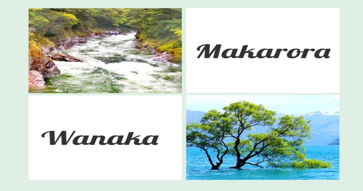
Makarora
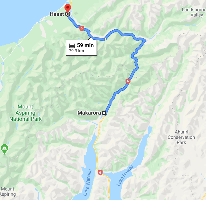
After a few very full-on days at Haast (click on the previous blog HERE), the committee (ie Scotty and I) agreed that we deserved a bit of luxury. We thought a powered site at the Makaroroa Country Cafe (NZMCA#8455) might be quite nice for a change.
The NZMCA offer a Campsaver scheme during the off-peak season and this was the last weekend before all the rates changed to summer rates. Our powered site cost us $20 per night.
Makarora Country Cafe
The Makarora Country Cafe is approximately 80 km south/east of Haast, on the way to Wanaka.
The cafe has a large parking area at the rear, lined with hedges around the 10 powered sites on the hardstand. There are four sites dedicated to the extra-large rigs or caravans.
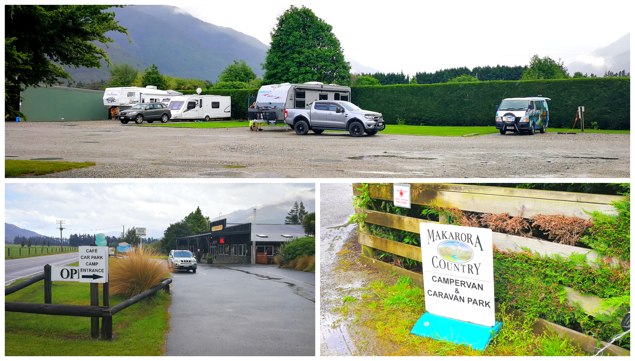
The Country Cafe Camping Ground
There is a small basic kitchen with the necessities, a small seating and BBQ area. The unisex ablution block was clean and tidy and showers are free to use. Although we didn’t make use of the laundry, there were a couple of washers and dryers to use for a small fee.
As mentioned earlier, we stayed on the Campsaver scheme ($20 per night) but currently, their summer rates are $32 for a power site for 2 adults.
This is a very popular stop for the tourist coaches on route to or from Wanaka. They pull into the parking area to wait for their passengers. You have to be prepared to sometimes be an attraction for some tourists. Our caravan does appear in quite a few holiday shots of their time in NZ. None of the tourists was invasive so it didn’t really worry us.
We arrived just after lunch so the cafe was still quite busy. I’m not sure if this was the reason for the rather less than friendly welcome. The staff were a bit lack-lustre and everything seemed to be a chore during our check-in process.
The Rain Set In
There is nothing much to do in Makarora apart from a couple of walks. This suited us as we thought that it would be a great opportunity to do nothing. Believe it or not, that is something I still struggle with. We’re active relaxers, so doing nothing doesn’t come naturally.
I envisaged being able to catch up on some ‘very behind’ blog writing and video editing seem we were on power. This, however, was not to be the case. It worked out that we had no cell phone or internet coverage. Nowhere on the reviews was this ever mentioned.
It seemed as if we were destined to watch a few Netflicks we had previously downloaded, reading books or watching a bit of TV as the rain and wind set in.
It remained rather miserable for our two-night stay.
The Blue Pools
The Blue Pools are a major tourist highlight and are located 12 km north of Makaroroa.
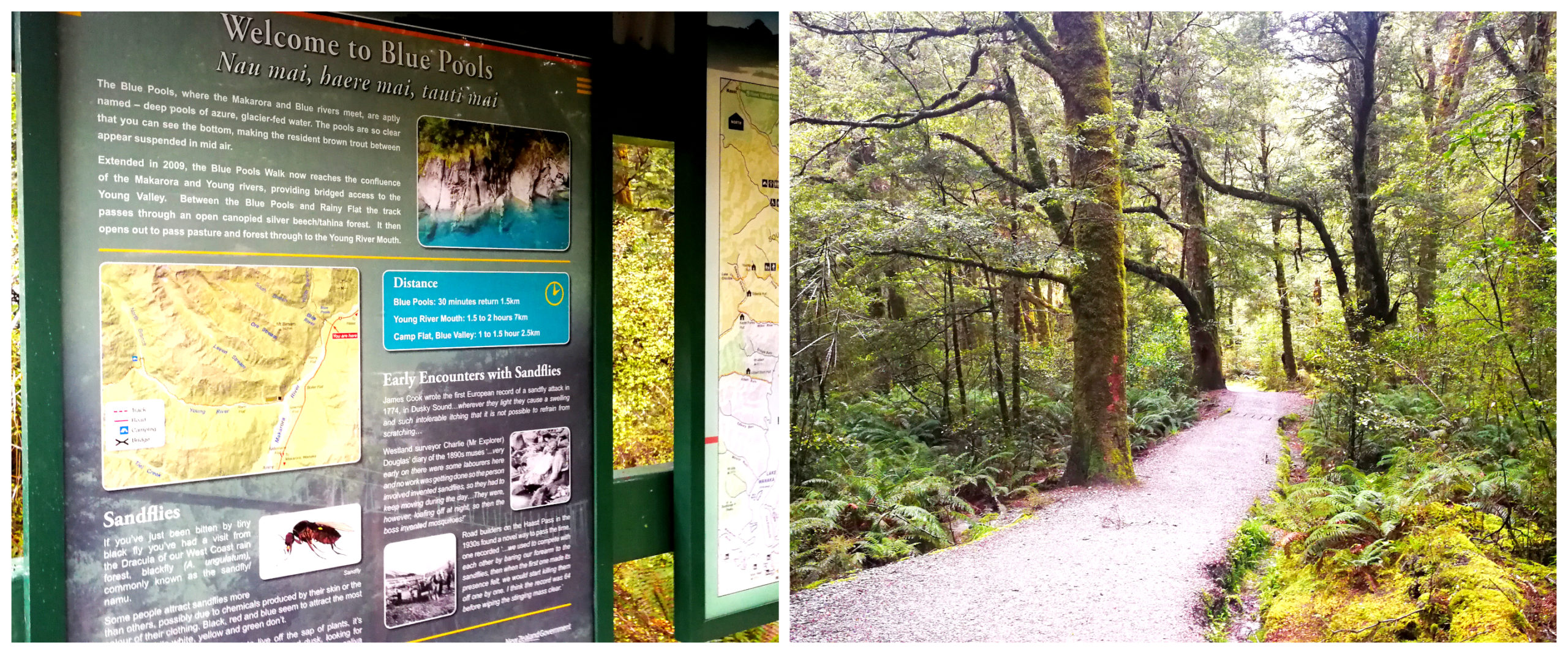
The deserted entrance to the Blue Pools Walk
On our drive from Haast to Makarora, we saw just how popular this attraction is. The vehicles lining both sides of the main highway was staggering. It was quite chaotic as tourists were reversing out of the angle parking areas as well as parked along the yellow dotted lines. We were reduced to a crawl as we maneuvered our way through the maze of vehicles.
Although the rain was still falling on our second day at the Makarora Country Cafe, we were determined to pay the Blue Pools a visit. The photos I’d seen were stunning and I was keen to get a few great shots myself.
We set off early to make sure we had the best opportunity to have the pools to ourselves as much as possible.
I needn’t have worried about having to share this natural delight, we were the only ones there – wearing our ponchos, all set to battle the elements.
The Walk
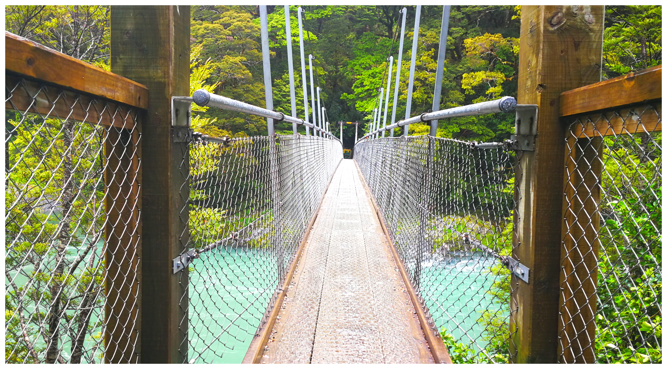
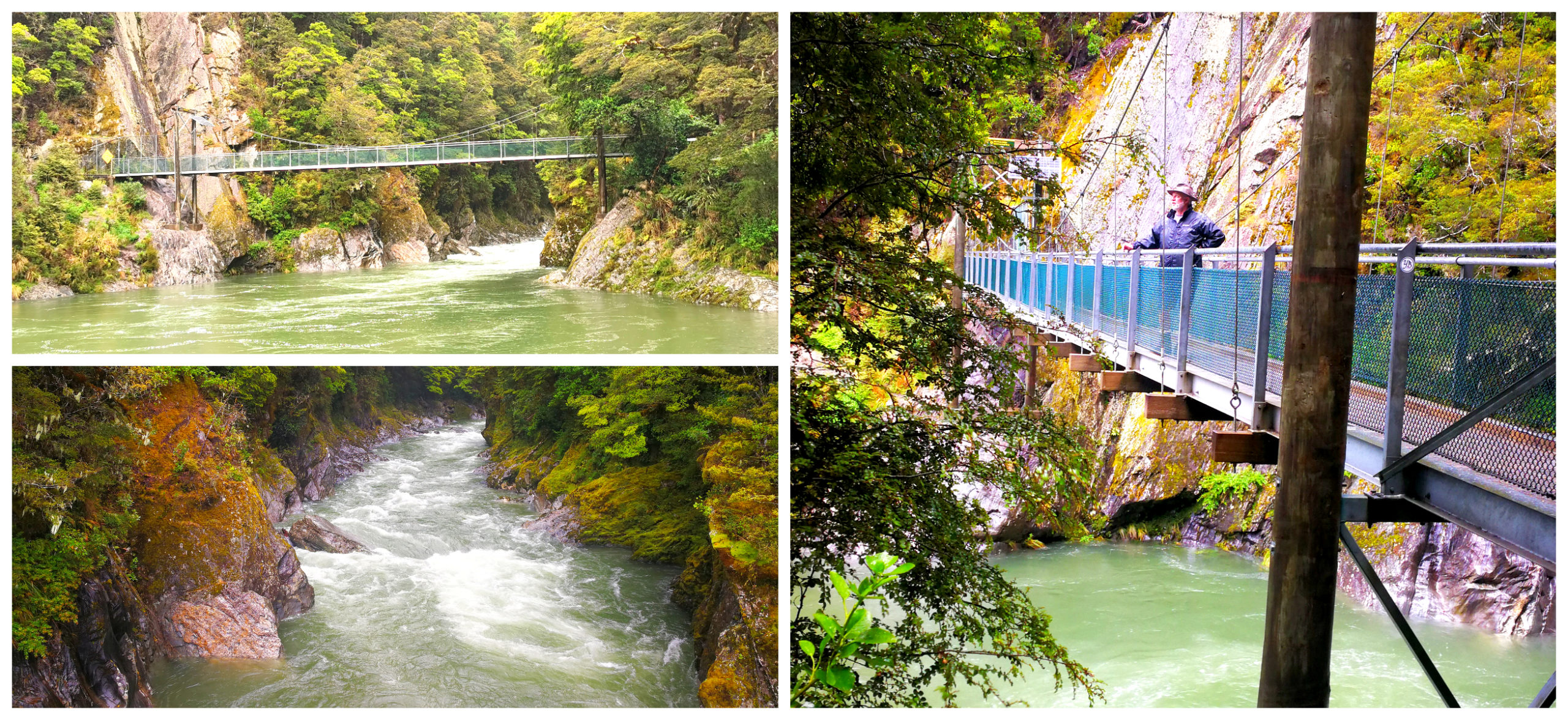
The first swing bridge takes up to 10 people at a time across the Makarora River
The path into the pools will take you 30 minutes one way through a beech tree forest. You reach a 14-metre high swing bridge across the Makarora River. There is a limit to the number of people allowed on the bridge so there must be quite a line-up when it is heaving with visitors.
At 14 meters above the river, it offers great views
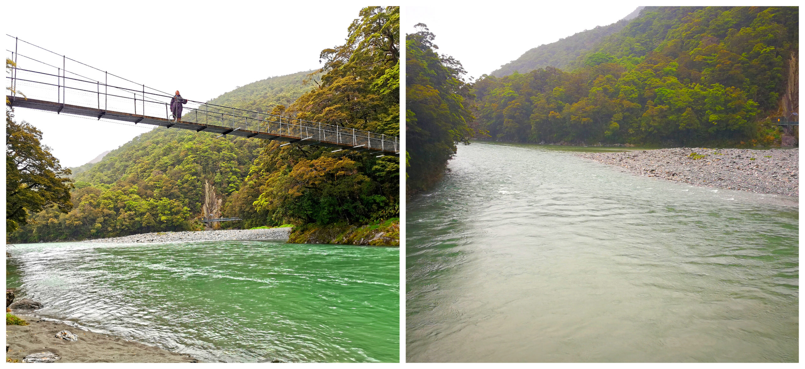
We continued along a boardwalk to the second swing bridge, which is the viewing platform over the Blue Pools.
Why Are They So Blue?
The pools get their name from the unique aqua blue colour of the water. This is enhanced when the sunlight reflects on the clear and icy cold water. Well, as mentioned earlier, it was a very dull, wet and windy day. So, of course, the water took on something resembling 50 shades of grey!
The 2nd bridge is supposed to offer views over the beautiful blue pools – instead they were grey and dirty
We always like to have a ‘glass is half full’ attitude so we still embraced our surroundings. It was beautiful and we enjoyed our breath of fresh air after being confined to barracks for a couple of days.
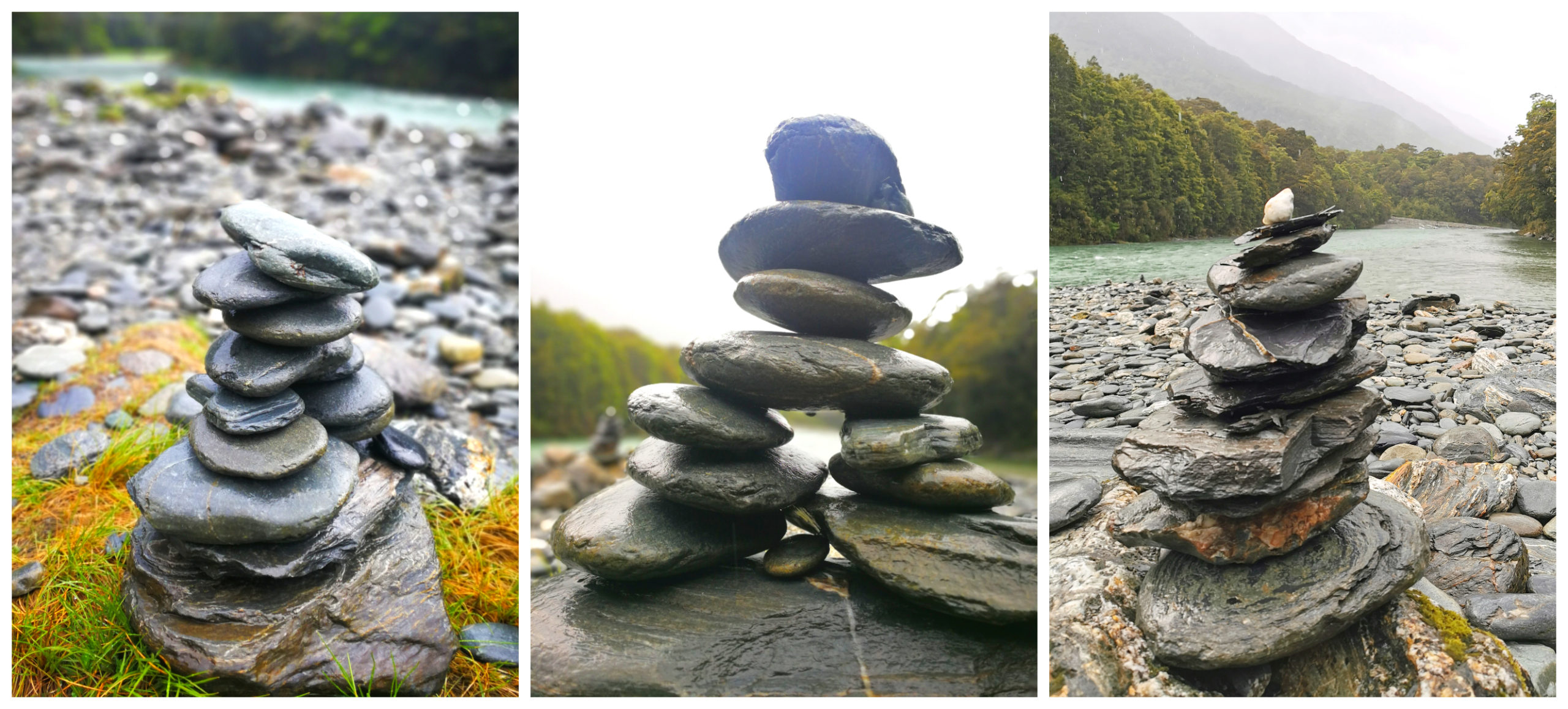
River Art scattered along the banks of the Makarora River
Lake Hawea
As it was another short drive for us today, we took a detour on our way to Wanaka and stopped off at Lake Hawea DOC Camp (NZMCA#8464) at Kidds Bush Reserve. This is approx 5-6km from the main road to Wanaka.
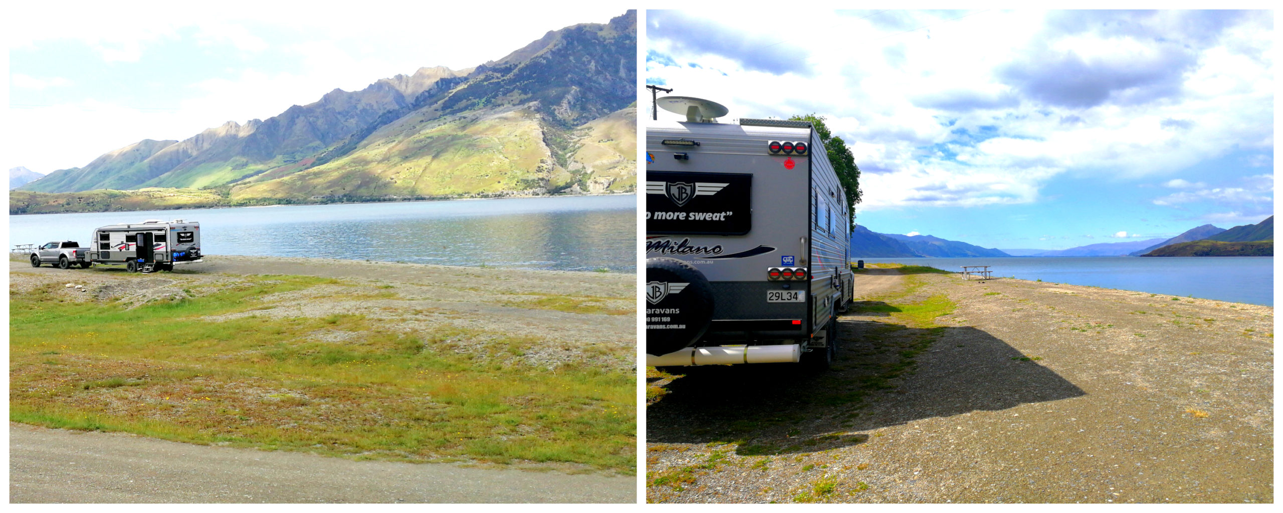
Kidds Bush Reserve on the shores of Lake Hawea
Lake Hawea is a stunning lake which was formed by a glacier during the last ice age. Covering some 141 square km’s, it’s 392m deep and 35 km long.
It lies parallel to Lake Wanaka and at its closest point, a rocky ridge called The Neck, the lakes are only 1 km apart.
In 1958, lake levels were artificially raised to store more water for increased hydroelectric power at the Roxburgh Dam.
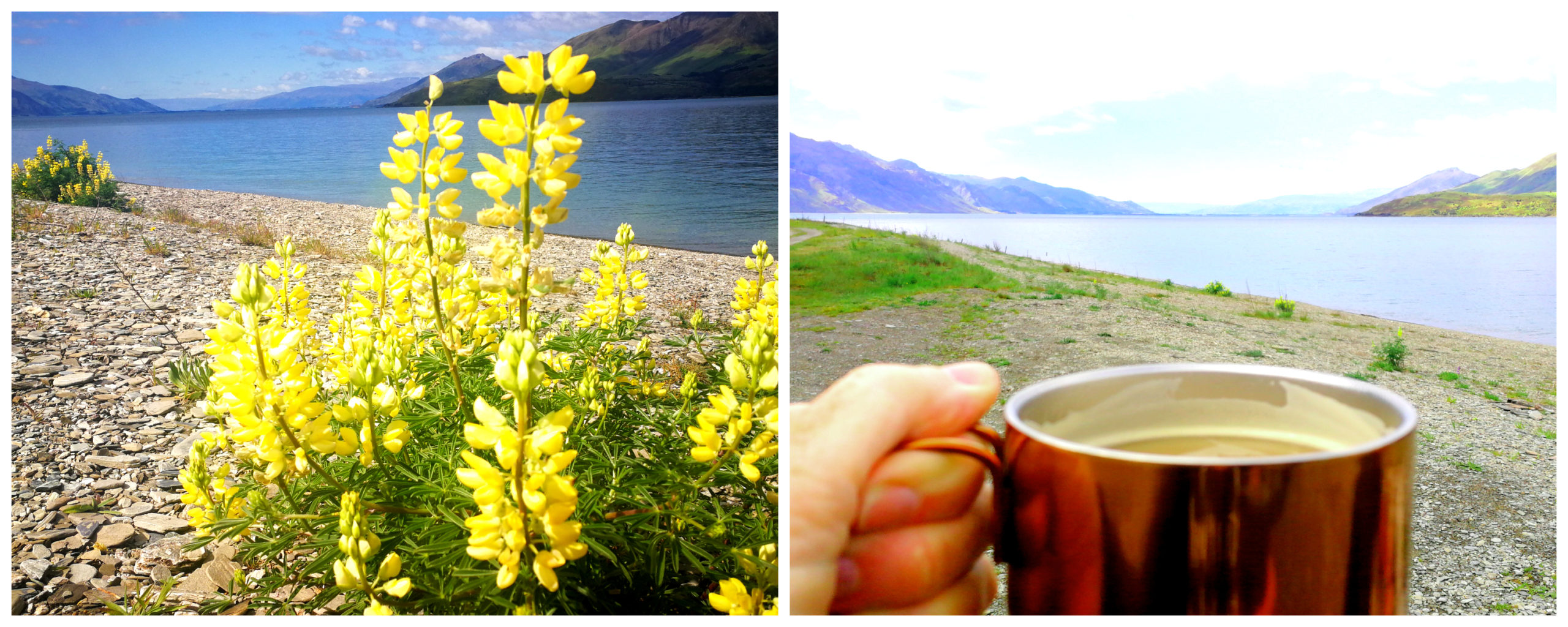
A perfect place to stop to boil the billy
The camp is in a beautiful spot, right beside the lake. I can imagine it is ‘chock full’ with holidaymakers in the summer months. It was looking quite deserted as we pulled in, put the billy on and enjoyed the views. Just us, a couple of other vehicles and 1001 sandflies.
Wanaka
We’re very fortunate to have friends just on the outskirts of Wanaka and even luckier that their driveway can accommodate the beast (ie caravan).
We only had 2 nights to spend here so we knew that we were not going to be able to do Wanaka justice and cover off the numerous tracks and sights we know abound in this region. Still, we have to save something to do on our return visits!
Mt Iron Track
This very popular loop walk offers excellent 360-degree views and the carpark is always full when we’ve driven passed.
Located only 2km out of the township and standing at 545m high, you can’t miss the impressive, glacier-carved, rocky knoll.
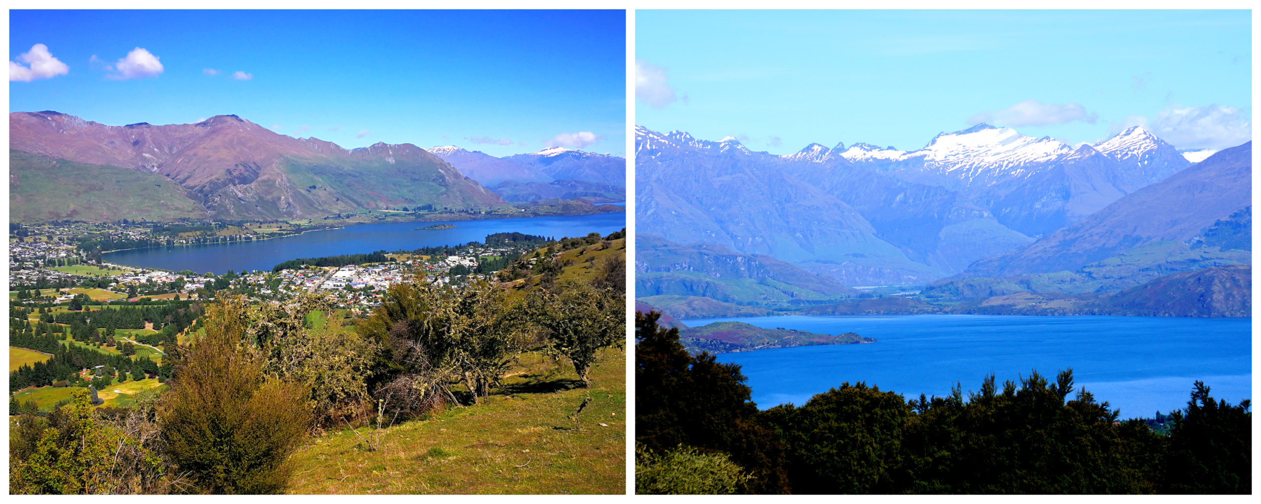
The loop track takes around 1.5 hours (4.5km). It was a long, hard and hot slog up to the top. The track can be a bit steep in parts so sturdy footwear is recommended. After all that sweat, we were rewarded with spectacular views of Wanaka, the Pisa Range, Upper Clutha Basin and the Southern Alps.
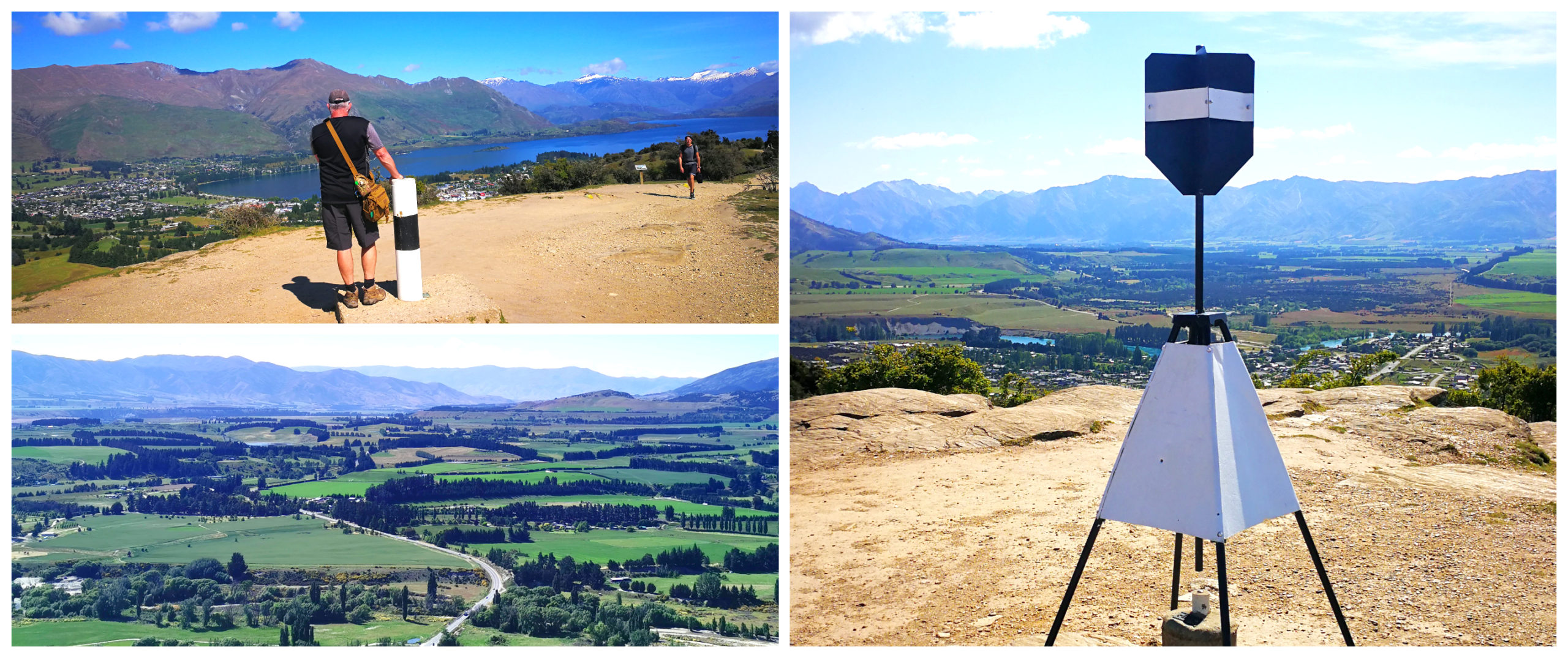
Panoramic views from the top
The track begins over the stile by the car park and taking the left fork, climbs along the western side of Mt Iron to the summit. After taking in the view and the information on the panels, we followed the track to descend on the eastern side and returned around the foot of the hill to the car park.
Wanaka Lakeside
It had been many years since we were last in Wanaka. Wow, what a difference a couple of decades makes. I’m not sure if it’s for the better though.
It is following in the footsteps of its neighbour – Queenstown. The population has exploded. New subdivisions have popped up everywhere and Wanaka has spread out towards Albertown.
The lakefront traffic was bumper to bumper. Finding a carpark was a big ask as the town centre was bulging at the seams with tourists and locals.
The famous Wanaka Tree
We managed to score ourselves a parking space and wandered along the lakefront. Believe it or not, I’m one of the few people that have never seen the famous ‘Wanaka Tree’. Wanaka’s willow with wet feet is perhaps New Zealand’s most photographed tree.
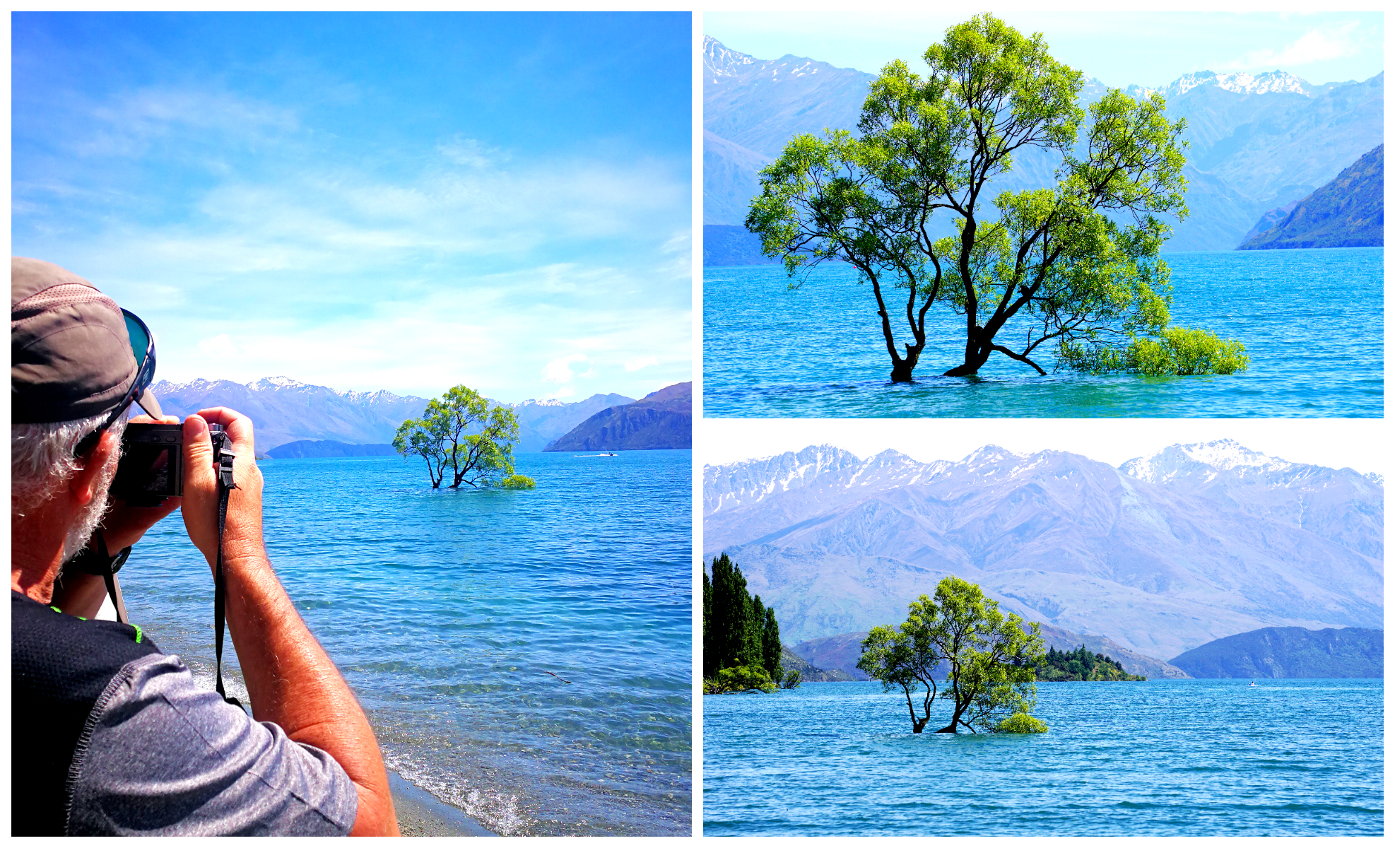
We just couldn’t make that tree look pretty
Well, its feet were wetter than normal as Lake Wanaka’s level was at bursting point. The waves lapped way up the trunk of the tree. No matter what angle I took photos of that tree, it still appeared less than inspiring to me. Most of the photos I’ve seen of the tree have been photoshopped so much that they don’t show a true resemblance to how it actually looks.
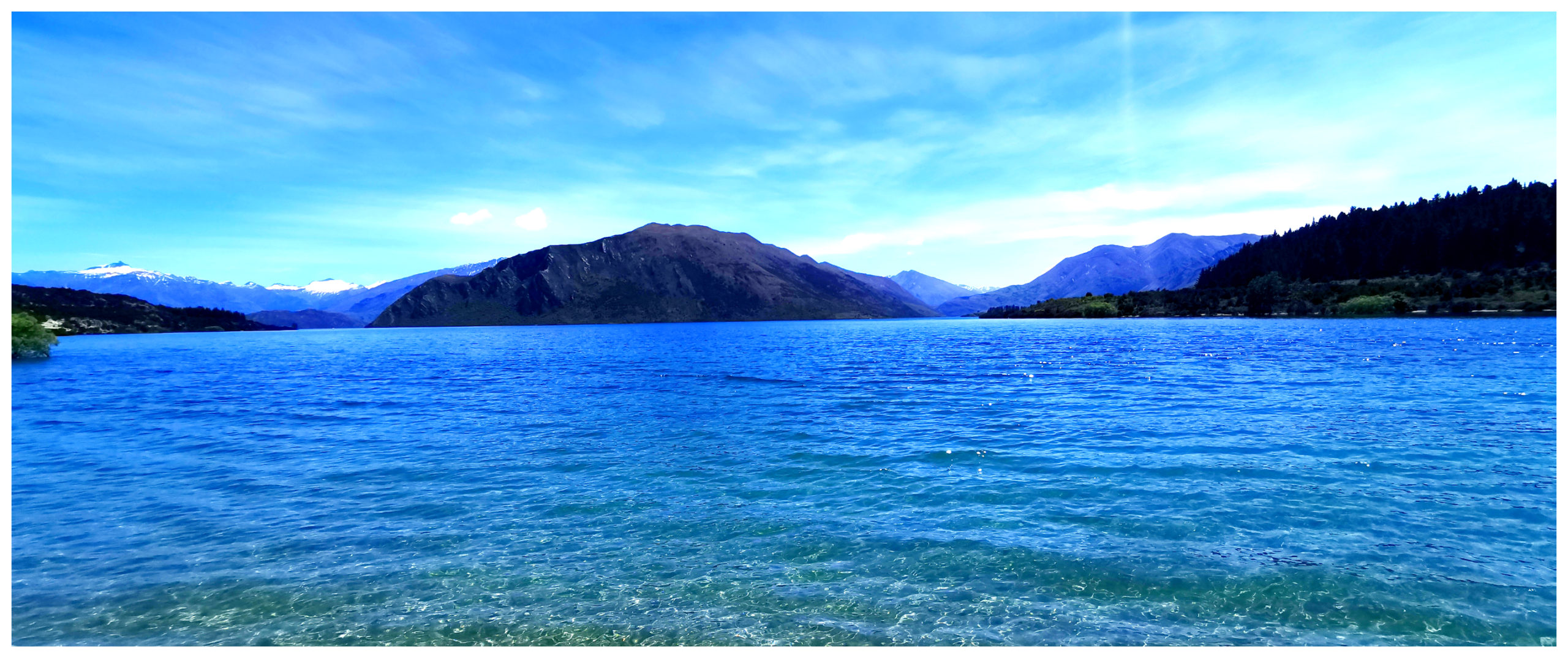
What’s not to like about a picnic view like this!
After my anticlimax of viewing the tree, we slowly wandered our way back, found an empty park bench and munched on our packed lunch, drinking in the views of the deep blue water of Lake Wanaka. It blended in nicely with the clear skies, quite different to what was about to hit the area in the near future.
Wanaka Got Doused
Days after our departure from Wanaka to travel to Cromwell (click here to see our next blog), the town was drenched, the lake rose even more and many of the shops were flooded. Roads north were blocked and it was quite miserable for a lot of locals and visitors.
Although throngs of tourists and visitors are really not our ‘thing’, Wanaka does offer such a lot to see and do. Wanaka, we will be back for more.